Te Matawai Yet Again

All photos by Carl
Carl and I heading for a walk over the tops from Arete as the weather forecast is looking great. Sunscreen packed. And this is the first tramp with the newly acquired old car for tramping trips; and first tramp in the Tararua's for this year.

Friday 27/01/2012
Left work after 3.00 p.m. and picked up Carl on the way to Otaki for a visit to my Mum and Dad before heading to Poads road.

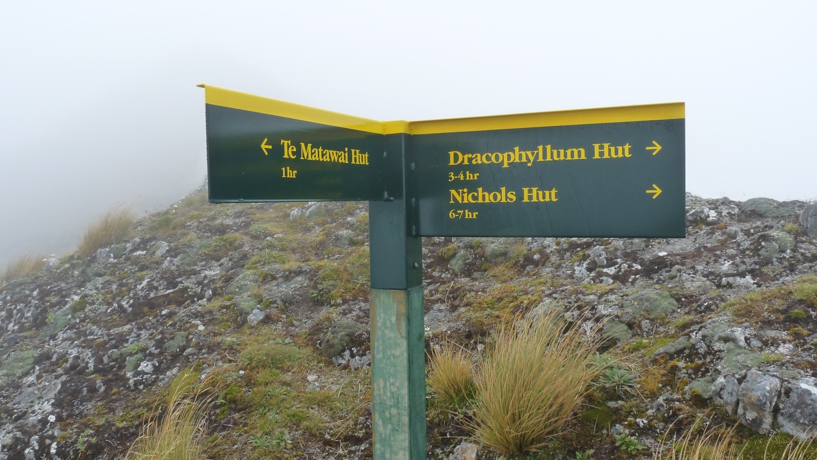
We eventually headed off from Poads road at about seven pm. Intended to go up South Ohau but when we got there is was a bit dirty and up a bit. So off up Gables and a slow trip to Te Matawai, can see that this area needs a good dose of 1080 as our fury friends are out and about tonight.
Common brushtail possum
Saturday 28/01/2012
A rather late start to the day. And the weather is no way at all like the weather forecast. Sun is not even visible. Decided to check who had the heaviest pack, a bit of a draw.
Ian pack check
Carl pack check
We headed off up to Arete where I discovered that certain ants if you sit on their nest will crawl into your under pants and will bite and as your jumping around pulling off pants tramping mates will laugh.
Looks like: Huberia striata
Up a bit further and views of the waterfall, really keen to go for a walk over there and check out the bowls. Have talked about it a few times but not done it yet. Next time I go to Te Matawai it will be an intention.
Waterfall to check out
And got to the top of Pukematawai for a sit down and a wander back to the hut for the night.
DOC ware on Pukematawai

Sunday 29/01/2012
A not so late start to the day, hut sweep and wander off down to South Ohau hut. A re-cut of an old track has been done, which we only checked out the start of. Here is the info from the hut book.
South Ohau hut book description of escape route
A nice wander down the river; as its back to a more normal flow.
And finally out at the car and a beer each, before the drive back to Wellington.
blue car

Oteranga Bay

14/05/2012 Saturday

Somebody and Me caught a bus Saturday morning to Island Bay last stop and then walked to the old quarry after Ohiro Bay to start our walk proper. A walk to Makara maybe?
We walked to Oteranga Bay in the hot sun that burned me. Windy walk.
Somebody walking
And here is the big shed to do with the cable from South Island.
Took the road up Black Gulley past the boiler of the old Albion stamping Battery, this pile of steel was got here in 1885.
 Had a stop here for a while as we ate food and ;ooked at the steel.
 Out onto South Makara Road and then walked to Makara Road and got a ride back to Wellington.
Walk ends here
Map showing Oteranga Bay

View Larger Topographic Map

Johnston Peak Plane Crash

Anthony and I off to the Richmond ranges for an overnight trip to photo the bits of the plane that is scattered below Johnston Peak.
Impact Memorial
Friday 06/01/2012
Drove to Timms creek and headed off to Mt Fell Hut.
Anthony in the forest
DOC ware on the door
Mt Fell hut
Saturday 07/01/2012
We left the hut with all our gear just after eight to go to Johnston Peak and check out the Electra. Anthony checking out the view East. We saw a few goats in these steep areas.
Anthony above the good drop
Looking back towards Mt Fell, most of the time we had no views.
And this is the view towards Mt Richmond and the saddle between Johnston Peak and Mt Richmond.
We headed SW from the ridge and dropped into the basin where the debris are scattered.

Some of the bits
And off to the track and out to Timms Creek road end.
Back into the forest
Anthony at rest
Not so native...
Timms Creek road end
Trip Times

Friday 06/01/2012
1408 Left Timms Creek
1825 Sign in the tree
1928 Mt Fell hut
Saturday 07/01/2012
0808 Left Mt Fell hut
0914 At the plane crash site
0957 Heading back to join the track
1021 Back on the track
1326 Back at Timms Creek

A map showing the area where we had our wander.
References

Mole Top

A new place for all three of us, Anthony, Jesadah, and me. The Mole hut is a good destination as there are two tracks; one up the river, and one up the ridge on the rivers true right.

The location of Mole Hut.

Tuesday 02/01/2012
To get to the Mole hut on the Mole Top's we drove up the Tutaki Road South leaving the tent at home as we assumed that there would not be anyone else there. So when we get to the Mole track start there is a car parked there. Hmm. Got bivvy bags so we headed off up the track. And what a track it turned out to be. Its across farmland to start with and then drops into the river until the final couple of kilometers which are again a marked track. The following picture is of the track beside(in) the river.
The hut is in a nice wee meadow just out of the trees, and yes someone was there. Two someones. For a four bunk hut five was no problem as the bunks are two of the shelf types.
Wednesday 03/01/2012
Next morning it wasn't such a hot day, jackets for the rain to start with,
 The walk out Jameson Ridge track is pretty nice forest.

Map
Another of those tracks that are spread across two maps, you need:
  • BS23 Matakitaki
  • BS24 Mount Robert
    Rubbish
    Some misguided being with an imaginary friend had left a wee book at the hut. I took it out and have returned it to the NZ Bible Society. So if you are out visiting back country huts and find one, it can be returned to 144 Tory Street, Wellington.