As experienced Tararua trampers we know that the best tramping and climbing is done when there is wet windy cold weather and minimal visibility. None of that sunshine and easy climbing weather for us.
So over the following six days we tested our outer shells, navigation, stamina, and hut etiquette. And this was my first long wander with the sturdy Macpac belay; a roomy 35 liter pack. Awesome sums it up. Just missing out on awesome plus due to the ice axe attachment straps being wrong. Will have too find someone to redo them as the axe sticks out to the sides and when in the bush catches on trees.

This was a late start as otherwise we would have had a really fine day that would have required the use of sun block. We left the top Robert Ridge car park around five pm and walked to Speargrass hut for the night. When we arrived Team Israel had the hut nice and warm; so in keeping with our aims we wandered aimlessly in a swamp behind the hut to ensure we had nice wet feet.
 |
| Speargrass Hut |
 |
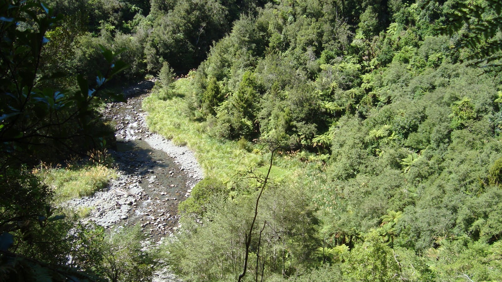
| Forest just a wee way away |
Tuesday 21/02/2012
An early start to the day as we where walking just after eight. Heading into the changing weather for a lunch stop at Angelus Hut. Spooked one shami on the scree about 90 minutes from Speargrass hut.
 |
| Shami |
 |
| Lake Angelus |
 |
| Angelus Hut |
 |
| Interesting way up Angelus |
 |
| Hinapouri Tarn and Lake Angelus |
The cloud cleared when we where on Angelus, so got a view of the lake.
 |
| Top of Angelus |
 |
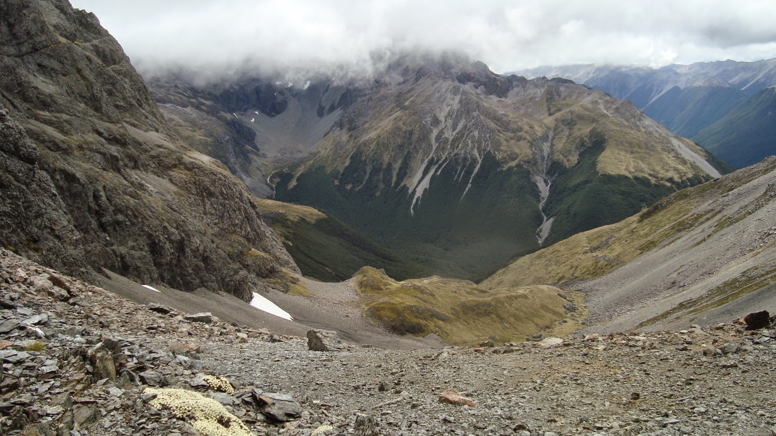
| Sunset Saddle area |
 |
| Green stuff on rocks |
 |
| Snow berries and fungi |
Wednesday 22/02/2012
Weather changed and it cloudy and wet, Carl and I left last to head out to the Travers track and on up to Cupola where we would meet up with Anthony and Ron.
 |
| Hopeless Hut |
 |
| John Tait Hut |
 |
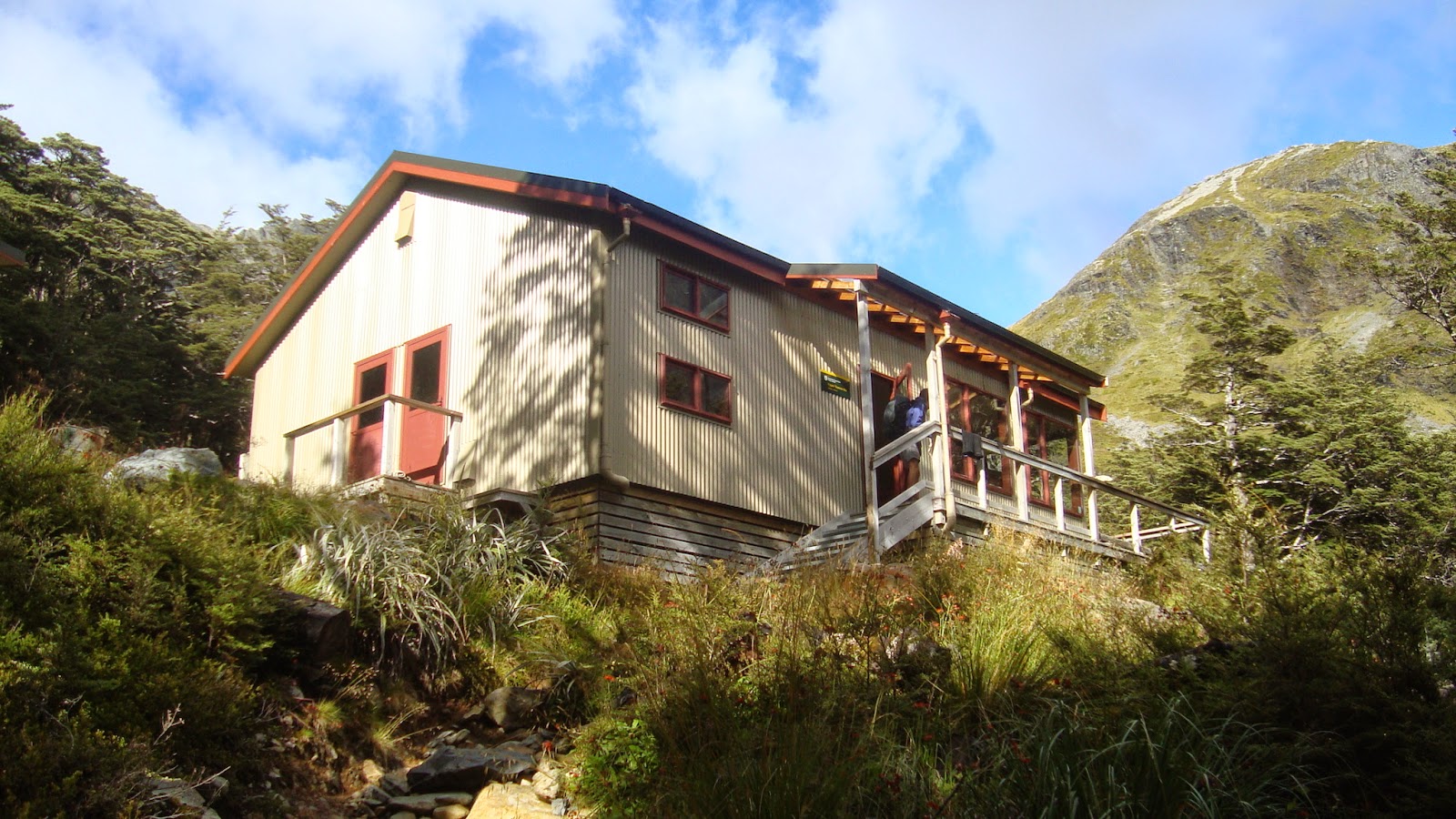
| Cupola Hut |
Thursday 23/02/2012
In the afternoon there seemed to be a gap in the weather so Anthony, Carl, and I went for a walk heading toward Hopeless.
 |
| Cupola |
 |
| Carl and Anthony |
 |
| Weather outside |
 |
| Mt Hopeless in the evening |
Anthony, Carl, and I headed for Upper Travers hut via Gunsight Pass.
 |
| Above Cupola Hut |
 |
| Looking toward Hopeless |
 |
| Anthony and Carl |
 |
| Looking towards our destination |
 |
| Puff fungi |
 |
| Cupola direction |
 |
| Bivvy Rock |
 |
| Looking up to Gunsight |
 |
| Car and Anthony on Gunsight Pass |
 |
| East Sabine, Franklin Ridge, West Sabine |
Saturday 25/02/2012
Walking out and heading home, just as the weather is getting sorted.
 |
| Upper Travers Hut |
 |
| Travers |
 |
| Upper Traver Hut |
 |
| Clearer day |
 |
| One of the wee bridges |
 |
| Fungi? |
 |
| Last views heading back to Kerr Bay |
20/02/2012
1716 Left car at top Robert Ridge car park
1904 At Speargrass Hut
21/02/2012
0812 Left Speargrass Hut
1030 At Angelus Hut
1201 Left Angelus Hut
1345 Top of Angelus
1420 On the way to the Sunset Saddle
1624 At Hopeless hut
22/02/2012
1212 Left Hopeless hut
1303 Onto Travers valley track
1358 John Tait hut
1522 Left John Tait hut
1657 At Cupola hut
23/02/2012
A hut day, with a wee walk in the afternoon.
24/02/2012
Left Cupola Hut
Gunsight Pass
Onto the track
Travers Saddle
Upper Travers Hut
25/02/2012
Left Upper Travers Hut
At John Tait Hut
Left John Tait Hut
At Coldwater Hut
Map of Wander
Starting at Speargrass Hut:
View Larger Topographic Map
And we wandered onto Cupola and then thru Gunsight to Travers:
View Larger Topographic Map