Friday 04/02/2011 (yellow)
Left the city at a most respectable hour and arrived at Penn Creek hut way before dark. Very unusual event. Found that Fields hut was very dirty and there was no other option other than burning available to us, as the books left there where rather thick, heavy, and full of rubbish. The smoke is our friend.
 |
| Field Hut |
 |
| Goat grazing at Penn Creek Hut |
 |
| Penn Creek Hut |
 |
| Penn Creek Hut |
A great day in the clouds and wind that the Tararua rain forest thrives on, such a warm wind that we all had a single thin layer covered by rain coat when out on the main range and we where not cold.
 |
| Carl and Paul crossing Penn Creek |
 |
| Pakihore Ridge |
 |
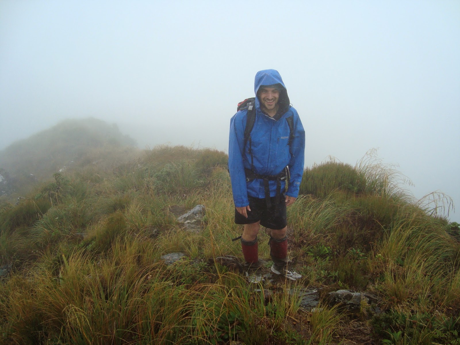
| Carl on Pakihore Ridge |
 |
| More Pakihore Ridge |
 |
| Carl on way to Tararua Peaks |
 |
| Paul heading to Tararua Peaks |
 |
| Maungahuka Hut |
 |
| Rainbow on way down to Neill Forks |
We left Neill Forks hut and headed off up Neill ridge on the "track not maintained", still an easy path.
 |
| Neill Forks Hut |
What is this wind speed stuff reported from the Cone Ridge monitoring device? The following little picture gives us some idea of the conditions experienced. The URL for this is:

The conversion gives a lot of km/h, so much so that it seems unreal. We couldn't do anything except struggle in that wind so we aborted on the way up Winchcombe ridge and headed back to the safety of the trees.
31/12/2014 updated this as the cone ridge wind speed now gives more data and km per hour.
Map Supplied by Carl

Fish with legs count incremented by eight, not bibles but other trash.
Trip Times
04/02/2011
1521 Left Otaki Forks car park
1718 Field Hut
1745 Left Field Hut
Penn Creek turn off
1924 Penn Creek Hut
05/02/2011
1011 Left Penn Creek Hut
1247 Out of the bush on Pakihore Ridge
1356 Down the ladder
1432 Arrive Maungahuka Hut
1524 Left Maungahuka Hut
1652 Neill Forks Hut (yes! 1 hour 28 minutes and no running)
06/02/2011
0820 Left Neill Forks Hut
1137 Last photo for the next six hours as it was too much rain and wind for my camera
1937 At Waiohine Gorge road end
Thank You
We could not return the way we wanted to. So we asked for help from Conrad and he picked us up from Waiohine Gorge and took us all the way back to Otaki Forks. He's getting married next week.


No comments:
Post a Comment