 |
| Impact Memorial |
Drove to Timms creek and headed off to Mt Fell Hut.
 |
| Anthony in the forest |
 |
| DOC ware on the door |
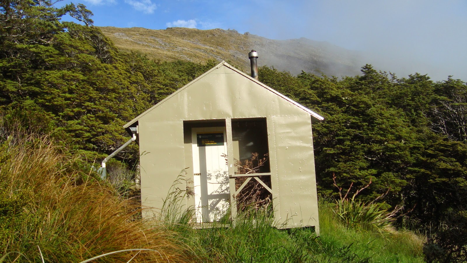 |
| Mt Fell hut |
We left the hut with all our gear just after eight to go to Johnston Peak and check out the Electra. Anthony checking out the view East. We saw a few goats in these steep areas.
 |
| Anthony above the good drop |


Some of the bits


 |
| Back into the forest |
 |
| Anthony at rest |
 |
| Not so native... |
 |
| Timms Creek road end |
Friday 06/01/2012
1408 Left Timms Creek
1825 Sign in the tree
1928 Mt Fell hut
Saturday 07/01/2012
0808 Left Mt Fell hut
0914 At the plane crash site
0957 Heading back to join the track
1021 Back on the track
1326 Back at Timms Creek
A map showing the area where we had our wander.

- Richmond Range Northbank road access
- Topo50 BQ26
- Impact Mount Richmond, The Last Flight of the Kereru by Philip Coote, assisted by researcher Gillian Gaskell

No comments:
Post a Comment